Getting here
Getting to Vees Drive
Cascades Casino Penticton sits between two lakes: 0.9 km from the nearest shore of Okanagan Lake and 4.6 km from Skaha Lake. The tool on this page gives straight-line distances between map points and opens Google Maps for the road route.
By the Channel DeskChecked October 2026
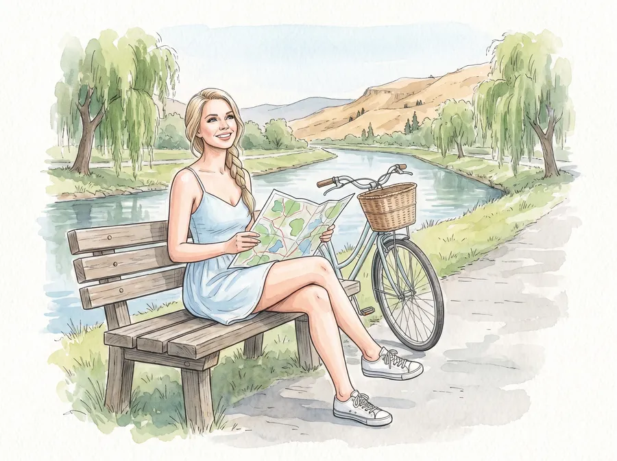
Between the Lakes
The casino stands at 201-553 Vees Dr., next to the South Okanagan Events Centre. It moved here in 2017 from the Lakeside Resort, on a site leased from the City of Penticton. Measured in a straight line, the nearest shore of Okanagan Lake is 0.9 km to the north.
Skaha Lake lies 4.6 km to the south. The Okanagan River Channel, which links the two lakes, is 0.8 km to the south-west. If you spent the afternoon by the water, the evening starts close by. For the road route, the directions button opens Google Maps.
From the Towns
How far from your town?
Straight line on the map, then the road route in Google Maps.
12.6 km from Summerland in a straight line.
| From | Straight line | Road route |
|---|---|---|
| Downtown Penticton | 1.0 km | Google Maps |
| Kaleden | 11.2 km | Google Maps |
| Naramata | 11.6 km | Google Maps |
| Summerland | 12.6 km | Google Maps |
| Okanagan Falls | 16.6 km | Google Maps |
| Peachland | 32.1 km | Google Maps |
| Oliver | 34.8 km | Google Maps |
| Keremeos | 35.6 km | Google Maps |
| Hedley | 37.4 km | Google Maps |
| West Kelowna | 40.6 km | Google Maps |
| Kelowna | 44.5 km | Google Maps |
| Osoyoos | 52.2 km | Google Maps |
| Lake Country | 61.4 km | Google Maps |
| Princeton | 65.4 km | Google Maps |
| Vernon | 89.2 km | Google Maps |
| Grand Forks | 98.9 km | Google Maps |
| Merritt | 109.4 km | Google Maps |
| Kamloops | 141.5 km | Google Maps |
The tool beside this text covers towns across the South Okanagan and beyond. Downtown Penticton is 1.0 km from the casino. Naramata is 11.6 km away and Summerland 12.6 km, with Okanagan Falls at 16.6 km.
From farther away, Oliver is 34.8 km, Keremeos 35.6 km and Osoyoos 52.2 km. Kelowna reads 44.5 km and Princeton 65.4 km. Peachland shows 32.1 km.
Every figure is a straight line between map points from OpenStreetMap, not a road distance or a driving time. No travel times are given here. For the actual route, the directions button opens Google Maps.
By Bus
The BC Transit stop "Vees & Wade" is about 70 m from the casino. It is served by routes 2, 4, 11, 15 Night Route, 30 Penticton / Summerland and 40 Osoyoos / Penticton. From Summerland or Osoyoos, routes 30 and 40 both stop there. Coming from Kelowna, route 70 Kelowna / Penticton stops at "Power & Wade", about 180 m away.
Bus times are not given on this page. Check the BC Transit timetable before you leave, and again for the ride back.
Parking
Parking details are not published on the casino's pages, so this guide cannot say where to leave a car or what it costs. Call the casino at 250-487-1280 before the trip and ask.
Questions people ask
How far is the casino from Summerland?
Summerland is 12.6 km from the casino in a straight line between map points. That is not a road distance; the directions button opens Google Maps for the route.
Is there a bus from Kelowna?
Route 70 Kelowna / Penticton stops at "Power & Wade", about 180 m from the casino. Check the timetable with BC Transit before the trip back.
How far is the lake from the casino?
The nearest shore of Okanagan Lake is 0.9 km north of the casino in a straight line. Skaha Lake is 4.6 km to the south.